Finding Your Exact Yard on the USDA Plant Hardiness Zone Map
Finding your yard’s USDA Plant Hardiness Zone can feel more complicated than entering a ZIP code, especially when a boundary passes nearby or one part of your property seems colder than another. The map is useful, but it cannot pinpoint every garden bed or predict planting dates. Here’s how to locate your area on the map and use the result without asking it to do more than it can.
What the USDA Plant Hardiness Zone Map tells you
The USDA Plant Hardiness Zone Map is a reference for comparing the winter cold a plant can tolerate with the conditions in a location. Its zones are based on average annual extreme minimum winter temperatures. That makes the map useful when you’re considering whether a perennial, shrub, or tree is likely to survive winter in your area.
According to University of Minnesota Extension, the USDA 2023 Plant Hardiness Zone Map uses weather data from 1991-2020. University of Minnesota Extension describes the USDA 2023 map as offering higher resolution and more accurate zonal delineation than earlier maps. That finer detail can help you inspect the area around your home more closely, but it does not mean every yard has a unique, precisely measured zone.
The map is best treated as a regional guide. It represents long-term climate data, not the conditions at every point on a property. A ZIP code or neighborhood falls in a zone on the USDA Plant Hardiness Zone Map, but a ZIP code search is a starting point rather than a guarantee that the same conditions apply across your whole yard.
That distinction matters because a map zone is not a full planting calendar. It does not tell you whether the soil is workable, whether a late frost is likely, or when to set out tender vegetables. It also does not account for every feature of a property, such as a sheltered wall, a low spot, or a windy exposed bed.
If you want a closer explanation of what the categories mean, start with Understanding USDA Plant Hardiness Zones for Minnesota Gardens. If you’re comparing a plant label with the conditions at home, What a Zone 5a Label Really Means for Minnesota Gardeners can help put that label in context.
What the map can help you decide
A hardiness zone can be one useful filter when selecting a plant. If a plant is described as hardy in a colder area than yours, it may be a reasonable candidate to investigate. If its listed hardiness does not match your area, that is a reason to look more carefully at the plant’s needs and your site rather than assuming it will survive.
Use the map alongside information about the plant’s preferred soil, moisture, sun exposure, and growing conditions. A plant can be suited to the winter climate but still struggle in a wet planting site, deep shade, or soil that does not suit it. A favorable zone match is encouraging, not a promise of success.
The map also cannot predict the exact weather your garden will experience in a particular winter. It summarizes climate patterns; a difficult winter, a quick temperature swing, snow cover, drying wind, and a plant’s condition going into dormancy can all affect survival. For more on that distinction, see Why Plant Hardiness Ratings Do Not Guarantee Winter Survival.
What the map cannot tell you
The zone map is not designed to answer questions such as:
- Is it safe to plant tender crops outdoors today?
- Is my spring soil warm or dry enough to work?
- Will my garden avoid a late frost?
- Is this specific tree likely to thrive in my soil?
- Does a sheltered corner have the same winter exposure as an open bed?
For those decisions, use information that matches the question. Frost risk, soil readiness, and plant hardiness are related parts of garden planning, but they are not interchangeable. Minnesota Frost Dates: Tracking Spring Thaw and Fall Freezes covers frost timing, while When Is Minnesota Garden Soil Workable for Spring Planting? addresses soil conditions.
How to find your yard on the map
The practical goal is not to make the map deliver a precise reading for every bed. It is to find your general location, inspect the nearby zone pattern, and then notice whether your property has features that could make it warmer or colder than the surrounding area.
Start with a location search
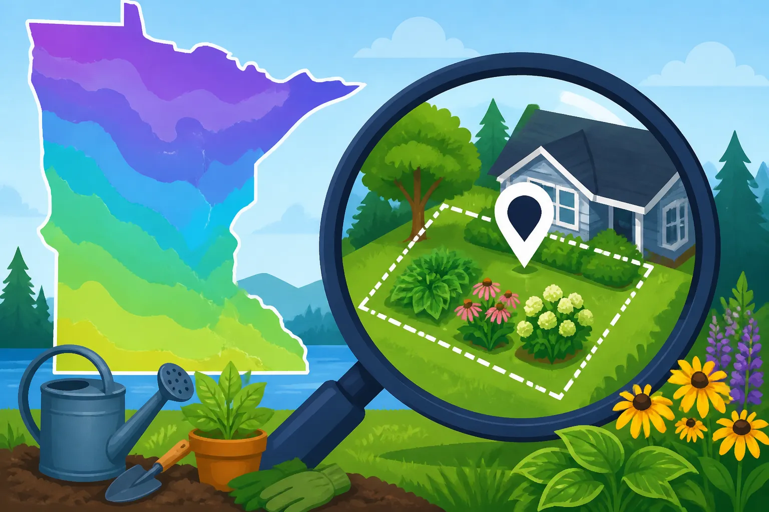
Open the USDA Plant Hardiness Zone Map and use its search or location feature to look up your ZIP code or a familiar place near your home. This should bring you to the general area. If the search result covers a wide area, use the map itself to orient yourself using recognizable streets, rivers, lakes, or other landmarks.
A ZIP code result gives you a useful first look, but avoid treating it as an exact yard reading. ZIP code boundaries are not garden climate boundaries, and the map’s color or zone pattern may vary within the wider area. The aim is to use the search to get close, then inspect the surrounding map rather than stopping at the search result.
If you already know the general part of Minnesota where you live, you can also begin with the state view and move toward your community. The best approach is whichever makes it easiest to identify familiar landmarks and understand where your property sits relative to the mapped pattern.
Zoom in and identify nearby features
Once you are in the right area, zoom in gradually. Look for the neighborhood, nearby roads, and recognizable landforms that help distinguish your location from places nearby. If the map offers a way to search by address or move the map to a selected location, use that as a convenience for orientation, not as proof that the number or color applies exactly to a garden bed.
Check the map around your property as well as directly over it. A visible boundary nearby can be useful context, but it should not be interpreted as a sharp line in the landscape where every garden suddenly experiences different winter conditions. The mapped divisions summarize regional data; actual conditions shift gradually and can vary with terrain and local exposure.
For a second perspective on navigating an interactive map, see Finding Your Neighborhood Zone with Interactive USDA Mapping Tools. The key is to use the map’s location tools to find your area and then compare the surrounding pattern, rather than relying on a single search result alone.
Record the result as a reference, not a guarantee
When you’ve located your property, note the zone shown for the general area and keep the map’s limits in mind. If a boundary is close, or different parts of the surrounding area appear in different zones, avoid forcing a single precise answer for the whole property. It may be more useful to say that your home is near a mapped transition and assess the planting site itself.
It can help to keep your zone information with your garden notes, especially if you are comparing plant labels or planning long-lived woody plants. Pair it with observations about where snow tends to linger, where wind hits hardest, and which corners warm early. Those observations add local context the map cannot provide.
| What you’re checking | What the map can contribute | What to check beyond the map |
|---|---|---|
| Your general location | A mapped zone for the surrounding area | Whether your yard sits near a boundary |
| A plant label | A starting point for judging winter hardiness | The plant’s soil, moisture, sun, and exposure needs |
| A sheltered garden corner | Broad regional winter context | Walls, tree cover, wind, and cold-air movement |
| Vegetable planting time | No direct planting date | Soil conditions, frost risk, crop needs, and local timing guidance |
| A long-lived tree or shrub | One factor in evaluating winter suitability | Site conditions and the plant’s full requirements |
Why one yard can have more than one kind of winter exposure
A map provides a broad view. A garden is a small, varied place. Within one property, a bed beside a building may be sheltered while an open corner is exposed to wind. A low area can collect cold air, while a slope or raised spot may drain it more readily. The details depend on the site, but they explain why a map reading should not be mistaken for a temperature reading taken in every bed.
Look for warmth and shelter
Sun, hard surfaces, and protection from prevailing winds can make some planting areas less exposed than an open yard. A spot beside a wall may benefit from shelter and stored warmth, while a garden tucked among buildings or trees may experience different conditions from a nearby open field. These are local effects, not a reason to assign a different official zone to one corner.
Shelter also comes with trade-offs. A protected spot may warm earlier, but that can encourage plants to begin growth sooner. Early growth can be vulnerable if cold weather returns. A warm microclimate may be helpful for some plants, but it is not a guarantee against winter injury or spring damage.
Notice cold-air pockets and wind exposure
Cold air tends to settle in low areas, so a bed at the bottom of a slope may experience different conditions from a nearby higher spot. Wind exposure can also dry plants and increase stress, especially for evergreen foliage. A site that looks favorable on the zone map may still be challenging if it is very exposed or poorly drained.
Pay attention to repeat patterns in your yard rather than drawing conclusions from one unusual spell of weather. Where does frost linger? Which beds dry slowly after rain or snowmelt? Where do plants show winter damage most often? These observations help identify local risks that a regional map cannot show. For more on how site conditions affect frost risk, see How Elevation and Cold Air Drainage Shift Garden Frost Risk.
Use the zone as one part of plant selection
When choosing a tree, shrub, or perennial, treat its hardiness information as a screening tool. Then check whether the plant suits the site’s light, soil, drainage, and moisture. Consider whether the planting area is protected or exposed, and whether it has a history of winter injury.
For long-lived plants, a cautious choice can be worthwhile. A plant that is only marginally suited to the broad area may need a particularly favorable site, and even then the outcome is not certain. If you want to grow it, you can reduce risk by choosing a protected location and following reliable guidance for that specific plant. Growing Zone 5 Perennials and Woody Plants in Minnesota Landscapes offers additional context for selecting plants for Minnesota conditions.
Use the zone alongside Minnesota planting guidance
The most common mistake is using a hardiness zone as if it were a date on the planting calendar. It is not. Winter survival and the timing of spring planting involve different conditions, so a zone search cannot tell you when to sow seeds or move tender transplants outside.
For vegetable gardening, match the decision to the crop. Cool-season crops and heat-loving crops respond differently to cold soil and cool nights. Soil moisture and workability matter too. Before digging, sowing, or transplanting, use guidance that considers the actual spring conditions and crop needs. Minnesota Vegetable Planting Calendar by Region is a better fit for planning crop timing than a zone lookup.
If a warm spell makes the garden feel ready, pause to check the factors that determine whether a planting decision is sound. Is the soil workable rather than wet and compactable? Is the crop suited to current soil conditions? Is there a risk of cold weather returning? Minnesota Garden Timing: Knowing When to Plant or Hold Off can help you weigh those questions.
A useful way to keep the information straight is to separate your decisions:
- Use the hardiness map when comparing a plant’s winter tolerance with your general area.
- Use frost and seasonal information when judging exposure to spring or fall freezes.
- Use soil conditions and crop-specific guidance when deciding whether to sow or transplant.
- Use your own observations to account for sheltered, exposed, or low-lying spots.
This approach avoids expecting one map to answer several different questions. It also gives you a practical record over time: the broad zone for your area, the conditions in individual beds, and the crops or plants that have performed well.
If a plant label and the map seem to disagree, check what each source is describing. A label may indicate a plant’s hardiness range, while the map places your broader area within a zone. Neither describes the soil, drainage, snow cover, wind, or care in your yard. For a decision about a particular plant, compare its needs with the actual planting location and consult dependable plant-specific guidance.
Likewise, do not let a zone label override local planting advice. A vegetable that can survive winter in a particular climate is not necessarily ready to grow in cold spring soil. A perennial that is hardy in the region may still be vulnerable in a wet, wind-exposed, or poorly drained site. The map helps with one part of the decision; it does not replace the rest.
Frequently Asked Questions
Can a ZIP code tell me the exact zone for my yard?
A ZIP code can help you find the general area on the map, but it should not be treated as a precise measurement for every property. Zoom in, check nearby mapped patterns, and account for your yard’s exposure and terrain.
Does the zone map tell me when to plant vegetables?
No. The map is about winter hardiness, not the readiness of spring soil or the timing of frost-sensitive crops. Use crop-specific Minnesota planting guidance and check current garden conditions.
Can a sheltered corner have different conditions from the rest of my yard?
Yes. Shelter, wind, slope, low spots, and nearby buildings can affect local exposure. Those differences are useful for choosing planting locations, but they do not create a separate official USDA zone for that corner.
Should I avoid every plant that seems marginal for my area?
Not necessarily. A marginal plant may be worth considering if you understand its needs and have a suitable site, but the result is less certain. Check the plant’s growing requirements and weigh the risk before choosing a long-lived planting.
Sources
- University of Minnesota Extension — A new plant hardiness zone map from the USDA | UMN Extension (checked November 15, 2026)
Disclaimer
This article is for general informational purposes only and does not constitute professional advice. Laws, prices and regulations vary by location and change over time. Consult a qualified professional for guidance on your specific situation. Minnesota Gardening Guide is not a government agency and is not affiliated with any university extension, state department of agriculture or other government agency.